A Guide to Hiking the Cape Brett Walkway
Need inspiration for a coastal hike renowned for it’s rich native bush and sweeping views across the idyllic Bay of Islands?
The Cape Brett Walkway near Rāwhiti is one of the best overnight hikes in New Zealand, renowned for it’s rich native bush and sweeping views across the idyllic Bay of Islands.
It’s also an area of historical significance where Māori waka arrived in Aotearoa, has the the first lighthouse in New Zealand using mercury bath technology, and with the chance of viewing dolphins or whales in the water below this walkway has everything you could want in a coastal New Zealand hike.
THE CAPE BRETT TRACK ROUTE
Distance One-way: 16.3km | Time One-way: 7-8 hours | Difficulty: Challenging (listed as ‘Advanced’ on the DOC website)
The Cape Brett Walkway is a 16.3km track to the Cape Brett Lighthouse on the Rākaumangamanga Peninsula.
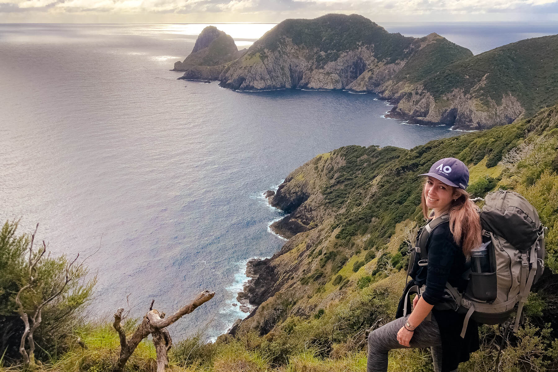
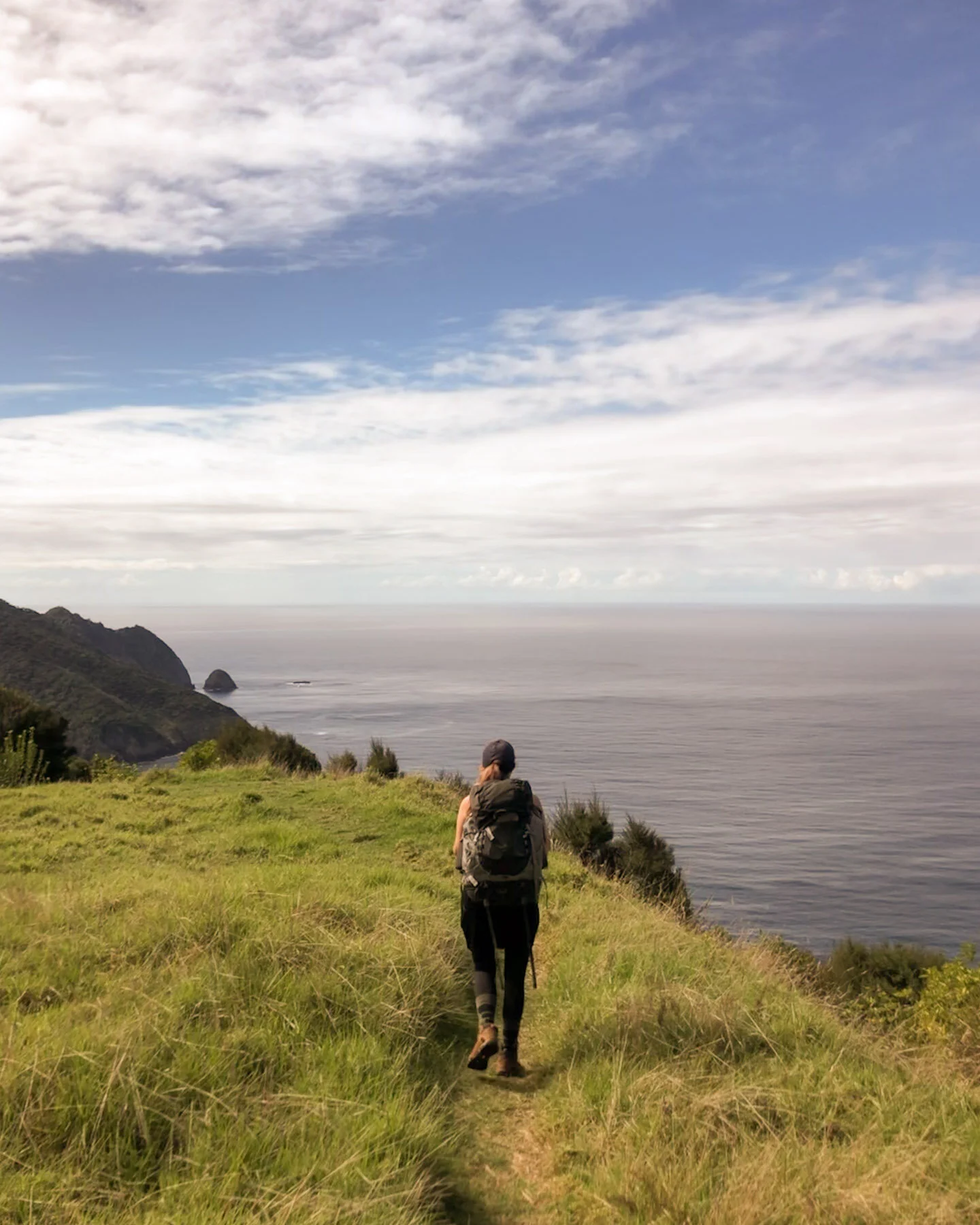
After a short, sharp climb up from beautiful Oke Bay, the initial 10km of the track follows a ridgeline through native bush, until just after the Deep Water Cove turnoff. From here the track becomes more challenging for the final 6km as it follows coastal undulations with steep drop offs, before the final descent from the picturesque lighthouse down to the hut tucked in to the end of the cape.
It’s not the easiest overnight hike, with the first section being a bit deceptive of the difficulty that lies ahead. Whilst the track is relatively well formed in most parts, there are some steep (and potentially slippery) ascents and descents that make it more difficult than expected.
It’s therefore quite popular to combine the 7-8 hour walk in and overnight stay with a water taxi back out from Deep Water Cove the next day, as it requires only a 2-3 hour hike the second day. It’s also possible to water taxi in, stay the night, and walk out the next day, or to walk the full trail both ways.
HOW TO GET TO CAPE BRETT
The hike starts close to the village of Rāwhiti on the Cape Brett Peninsula, with the trail head located on Rāwhiti Road between Hauai Bay and Oke Bay.
» FROM PAIHIA TO THE CAPE BRETT WALKWAY:
A little over an hours drive, including a short trip on the Opua Ferry which runs constantly from 6:50am with tickets available on board (card accepted).
» FROM WHANGĀREI TO THE CAPE BRETT WALKWAY:
A little under an hour with these main centres also the best place to pick up any supplies as there are very limited options beyond.
It’s not really that practical drive up from Auckland the morning of your hike as it does take between 7-8 hours to reach the hut. Luckily there are conveniently located places to stay in Rāwhiti, Oke Bay and the surrounding area towards Russell.
◇ TIP after the intersection of Manawaora Rd and Rāwhiti Rd, it is a metal/gravel road for most of the way.
The Cape Brett Walkway is a great addition to a New Zealand road trip: Explore my 2 Week North Island Itinerary!
PARKING FOR THE CAPE BRETT WALK
There are no DOC parking spaces available and leaving your car on the side of the road is not recommended, so use one of the following private options whilst on the Cape Brett Walk:
» 253 Rāwhiti Road (Julie’s place)
Next to the Kaingahoa Marae in Kaingahoa Bay. $10 in the honesty box at the house. We parked here and it’s a 10-15 minute walk up to the trail head.
» 1 Rāwhiti Road (Hartwell’s)
Next to the boat ramp in Kaimarama Bay. The fee is$10 and it’s a popular spot for boaties to leave their trailers. It’s a 15-20 minute walk back to the trail head.
CAPE BRETT WATER TAXI
If you’re planning on taking a water taxi back rather than walking out, it’s best to arrange it before heading out as cell phone coverage at the hut can be patchy.
Pickups are available with BOI Water Taxis from either Deep Water Cove, about 2-3 hours back from the hut, or from just down below the hut if tides and/or weather conditions allow.
Fare are $40pp, minimum of 5 people or $200, from Deep Water Cove back to Kaingahoa Bay.
There are also options available for cape brett water taxis to/from Paihia with Sea Shuttles Bay of Islands.
There are water taxi details displayed at the hut if circumstances change and you want to book a water taxi last minute, though it’s best to coordinate with other hikers if possible as there is a minimum charge for the taxi and cell phone coverage is limited.
It’s also possible to take a water taxi to Deep Water Cover, then walk from Deep Water Cove to Cape Brett. This will take about 3 hours of hiking.
WHEN TO VISIT THE CAPE BRETT WALKWAY
The Cape Brett Walkway and Hut are both open year round, with summer being the busiest season.
» SUMMER IN THE BAY OF ISLANDS
Long days and high temperatures - the sunrises at 6am and sets close to 9pm, providing plenty of daylight to complete the hike. Temperatures range from high 20’s in the day to lows of 15-16 degrees Celsius overnight.
» SPRING/AUTUMN IN THE BAY OF ISLANDS
The weather in autumn and spring are both ideal for this hike, avoiding the high summer daytime temperatures but with plenty of daylight. October and November have the lowest average rainfall.
» WINTER IN THE BAY OF ISLANDS
Over winter, it’s important to ensure you’ll have at least 8 hours of daylight to complete the track one way, to avoid completing the exposed sections of the track in the dark. In late June and early July the sun sets just after 5pm. July and August have the highest average rainfall.
Extra care should also be taken in the exposed sections during windy or stormy conditions. The track may also get very slippery when wet, so proper hiking boots are necessary in these conditions.
THE CAPE BRETT HUT
The Cape Brett Hut is actually the original Lighthouse Keeper’s house. From 1910 until 1978, the lighthouse keepers and their families lived in this isolated settlement, which has now been converted into a 23-bunk hut.
A stay in the Cape Brett hut must be booked online in advance on the Department of Conservation website.
» 18+/Adult: $15 per night
» 11-17/Youth: $7.50 per night
» 0-10/Child: Free
Saturday nights and public holidays book out quickly, so be sure to book well in advance for popular dates.
In addition to the hut booking costs, a Walkway permit is required. The permit is required to cross private land between Rāwhiti/Oke Bay and Deep Water Cover and costs $40 (adults) or $20 (children). This can be purchased online at the same time as reserving a bed in the hut.
» FACILITIES IN THE CAPE BRETT HUT
Camping is not allowed - a bunk in the hut is required, where mattresses are provided.
Cooking facilities are available at the hut, including burners and gas. As with all DOC huts, all rubbish must be carried out.
Toilets are the compostable/non-flush type.
» WATER SUPPLIES IN THE HUT
It is highly recommended to carry two days drinking water (1L min per day) and water for cooking/cleaning in to the hut as the source at the hut is unreliable.
Over summer supply can run out due to low rainfall, and following stormy weather the water can become salty from the ocean spray. Any water available at the hut is not treated and must be boiled before use.
The DOC hut booking page provides a status update in the alert sections and a desalination system is currently being installed.
WHAT TO PACK FOR THE CAPE BRETT WALK
In addition to hiking clothes, the following items are specifically required for a stay at the Cape Brett Hut:
If water is unavailable, carry a minimum 1L of fresh water per person per day, plus extra for cooking and cleaning.
If (untreated) water is available at the hut, carry a filter bottle or prepare to boil water for 3 minutes before use.
Cooking equipment and food. While cookers and gas are available, you’ll need to pack everything else.
A sleeping bag or sack is necessary, however mattresses are provided.
As there is no lighting, a head torch for trips to the bathroom and candles for cooking.
If the track is wet, wear hiking boots rather than runners.
Hut shoes or flipflops - hiking boots must be kept outside the hut.
Windbreaker or rain jacket - the track is very exposed on the peninsula.
A warm jacket for when the temperatures cool off at night.
Sunscreen, sunglasses and a hat for sun protection.
Battery packs for charging devices - there’s no electricity at the hut.
Over summer - swimwear and a snorkel for a swim at Deep Water Cove.
WHAT TO SEE ON THE CAPE BRETT WALKWAY TRACK
» THE BAY OF ISLANDS
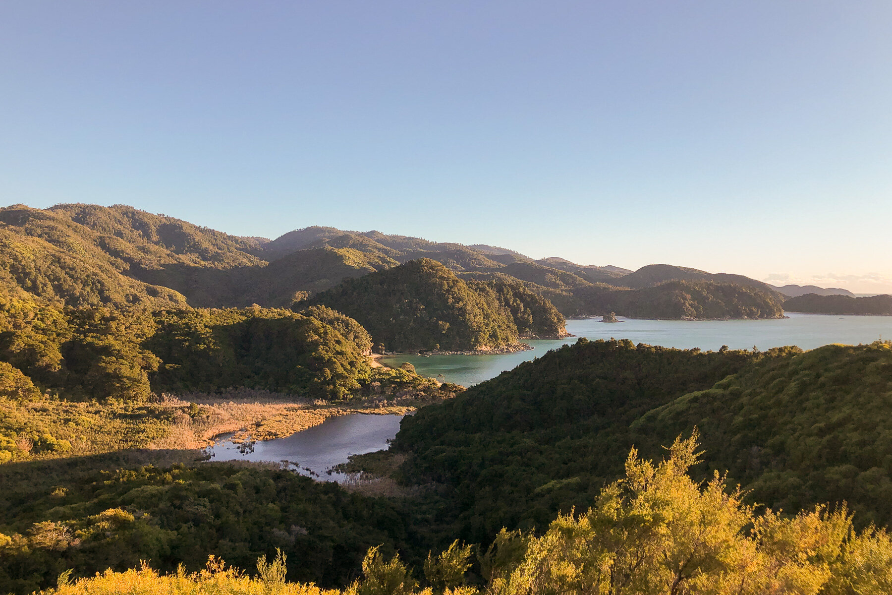
As you start along the ridgeline of the Cape Brett peninsula, the native bush will frame views of the spectacular bays and islands, the easiest to spot being Urupukapuka - a popular camping spot accessible by boat.
It’s also possible to spot the Cavalli Islands further afield to the north and the Poor Knights Islands to the south.
» DEEP WATER COVE (MAUNGANUI)
About 10km into the hike, there is a turn off to Deep Water Cove. If you’re not going to be departing by water taxi from here the next day, it’s definitely worth the one hour return trip. It’s the perfect spot for a swim before tackling the final stretch of the hike.
The cove is a protected marine reserve and it’s clear waters make this a great snorkeling spit. It’s also a popular spot for diving, as the HMS Canterbury was purposefully scuttled here to become an artificial reef.
» RĀKAUMANGAMANGA - CAPE BRETT
The peninsula, known as Rākaumangamanga in Te Reo, is an extremely significant location in Maori history.
Considered the south-west point of the Polynesian Triangle, Rākaumangamanga is the place where human history on this land began. The landing location of waka from Hawaiki in the Great Migration, the seven distinct peaks of the peninsula are said to represent the seven waka that sailed to this new land after discovery by Kupe and Kura.
» MOTUKŌKAKO - HOLE IN THE ROCK
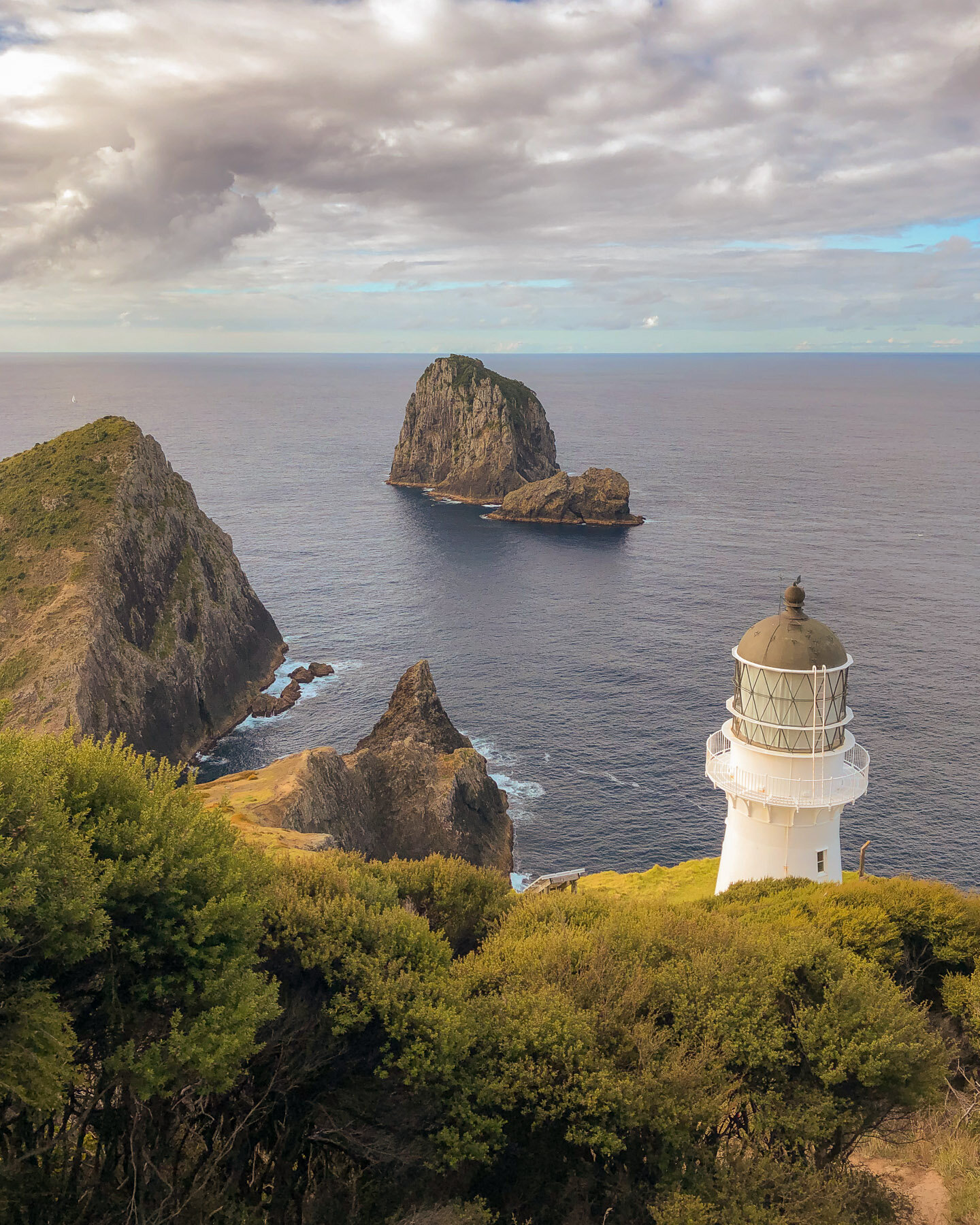
One of the most famous landmarks in the Bay of Islands is the Hole in the Rock, also known as Motukōkako in Te Reo, or Piercy Island in English. Though most commonly visited by tour boats that squeeze through the arch, the island is visible from the high point of the track near the lighthouse.
Featuring bare sheer cliff, the east faces of Motukōkako are lit up brightly by sun rise. Long before the construction of the first lighthouse, the island was already acting as a natural beacon rising out of the sea, high-lighting the way of the first waka from Polynesia.
» THE CAPE BRETT LIGHTHOUSE
On reaching the lighthouse you’ll feel a real sense of achievement, the hard work is done and it’s all downhill from here. The views from it’s perch on the end of the cape are spectacular, especially as the light starts to fade.
First lit on the 21st February 1910, this lighthouse was an amazing example of technology at the time and provided two flashes of light every 30 seconds to be seen from 48km away. Until it’s decommission in 1978, the light keepers and their families and animals made Cape Brett there home in the small settlement.
An automated light now guides vessels to the Bay of Islands.
WILDLIFE ON THE CAPE BRETT PENINSULA
Local wildlife can be spotted both on the trail and in the waters surrounding the peninsula.
» BIRDLIFE
A lot of effort is being put in by local hapū (Potukeha and Ngāti Kuta) and DOC to eradicate pests from the peninsula, and now bird life is returning. Look out for kererū, tūī, pīwakawaka in the bush, and tākapu out beyond the hut.
» SEALS
Explore down below the hut and you’ll likely see a fur seal (kekeno) or two basking on the rocks.
» DOLHPINS & WHALES
These majestic marine mammals can be spotted from Cape Brett. Bottlenose dolphin can be spotted most frequently as they live in the Bay of Islands year round, whereas over the winter in May or June you have the best chance of seeing an Orca (killer) whale.
We were lucky enough to watch a small pod of dolphins playing in the cove between the mainland and Otuwhanga Island as we sat outside the hut eating dinner.
WHERE TO GO AFTER CAPE BRETT?
Once you’ve dropped the pack and pulled off the boots, you’re probably ready to sit down to a well-earned smoothie or glass of wine (or both!).
A 45 minute drive around Te Rāwhiti Inlet will bring you to Russell. This charming town is the original capital of New Zealand, and on the main street overlooking the bay you’ll find the iconic Duke of Malborough Hotel. Their patio is a great spot to relax and refuel.
Alternatively if you’re heading south towards Auckland, instead of taking the main route via the car ferry at Opua, take the scenic route along Rāwhiti Rd (South) and stop in at The Cafe, Helena Bay Hill.
On top of delicious food and drinks, the patio is surrounded in native bush with magical views over the ocean and an art gallery highlighting local New Zealand artists.
Make Cape Brett a stop on your tour of New Zealand’s North Island:
Read More: NZ North Island 2 Week Road Trip Itinerary & Travel Guide
Want to save this guide for later? Pin it!
This blog post was about:
» Looking for more hiking ideas? Check out some of these:
